+0.00m / CONCOURSE
Indoor positioning
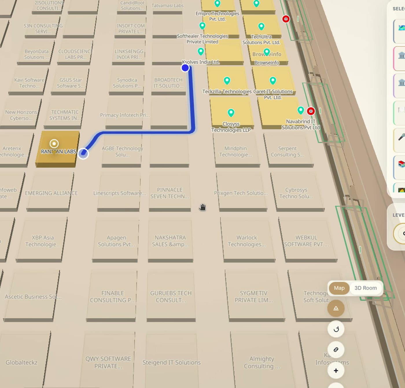
Indoor positioning shows where people and equipment are inside a venue, where GPS cannot reach. Venues use it for blue-dot navigation, live walk times, asset finding and occupancy — feeding positions onto the same map visitors already use.
A blue dot indoors, live walk times, and a live layer of tracked equipment — on the map you already maintain.
+0.00m / CONCOURSE
What it does
Multiple positioning sources
BLE beacons, Wi-Fi RTT, UWB tags or an existing RTLS — matched to the accuracy the use case actually needs.
Blue-dot navigation
Positioning plus wayfinding means the route updates as you walk it, on your own phone.
Live walk times
"4 min, step-free" beats a line on a map. Walk times come from where the visitor actually stands.
Asset location layer
Tagged wheelchairs, trolleys and equipment appear live on the map, searchable by name or type.
Zone events
Entry and exit events per zone feed dashboards, alerts and occupancy counts.
Privacy by design
People-tracking is opt-in and aggregated where possible; the stance is documented on the trust page. Accuracy figures are stated per deployment: typical values TBD.
LIVE LAYER
Positioning is optional. Search, wayfinding and live venue data work with zero hardware — add positioning where blue-dot or asset finding earns it.
+0.00m / EXIT
See your venue as your visitors will
Book a walkthrough on a live venue map, or start free with your own floor plan.