Interactive 3D model of an exhibition campus: an entry gate, two exhibition halls filled with booth grids, a convention center, a two-level seminar block, a lunch canopy and a developer forum stage. As the page scrolls, the camera moves from a campus overview to Exhibition Hall 1, where one booth is highlighted and its live record from the event's booking data is shown alongside.
Skip 3D intro
+0.00m / ENTRY GATE
The digital operating system for physical venues
Map it. Manage it. Navigate it. Experience it.
Mapnyx turns the floor plans you already have into a navigable digital venue — search, wayfinding, kiosks and analytics on one model. Visitors open a link or scan a code. Nothing to install.
Exhibitions · Stadiums · Malls · Airports · Hospitals · Campuses
First-party figures from one venue — our first national-scale live deployment, an exhibition campus, measured September 2026. Not a platform-wide total
One venue, seven buildings, eight floors and 997 places — running a live national exhibition, opened from a link.
Customer names publish here when they grant permission
+0.00m / HALL 1
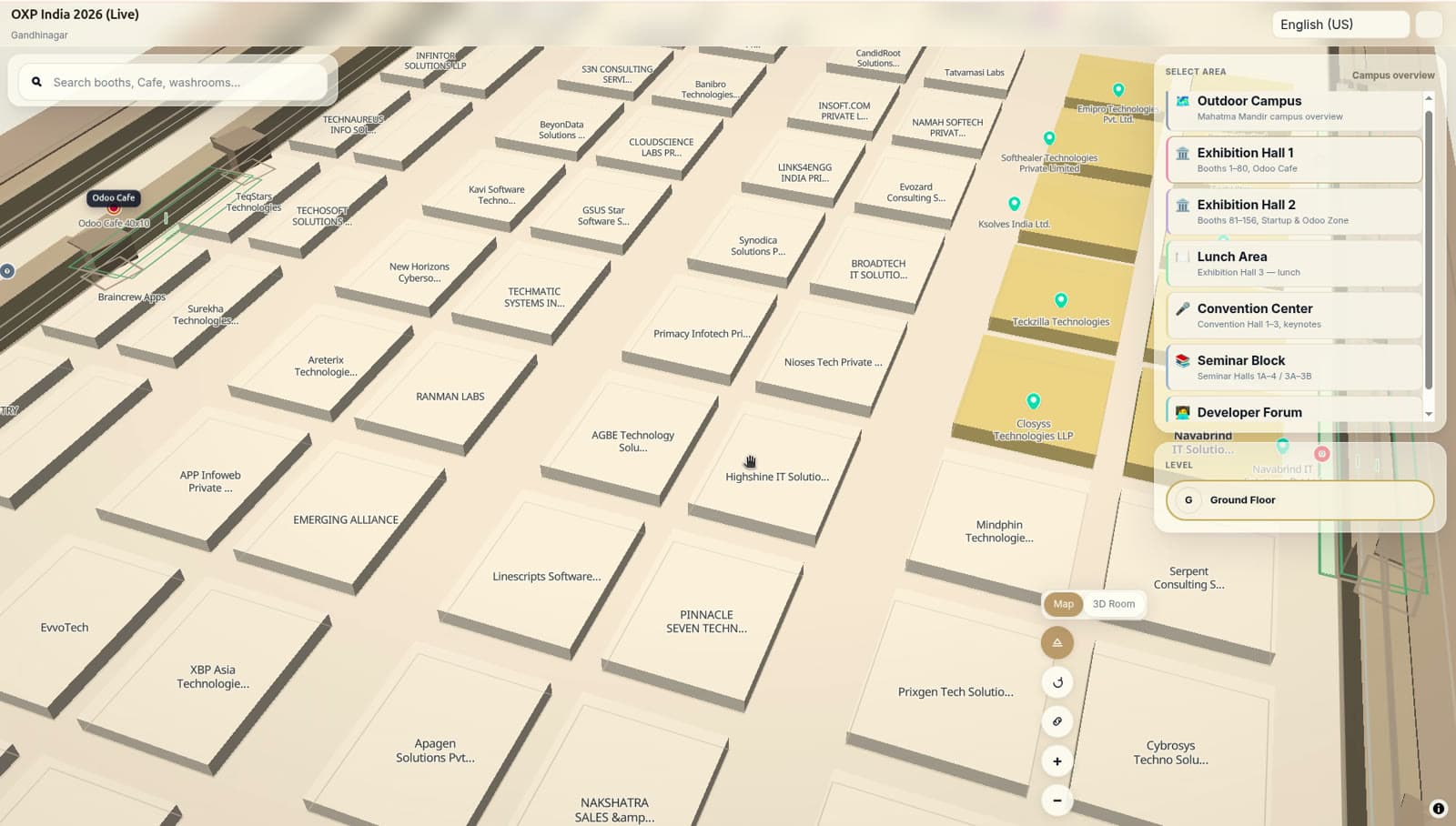
The map is live venue data, not a PDF
A printed floor plan is wrong by opening day. Mapnyx draws booths, sessions, rooms and amenities from the venue's own records — when a booking changes or a hall re-plans, every kiosk, phone and embed updates together.
- Exhibitor
- Northlight Systems
- Booth
- B-17 · Hall 1 · Ground
- Tier
- Gold partner
- Booking
- confirmed · synced just now
- Walk from entry
- 1 min · step-free
Sample record, live from the event's booking data.
How wayfinding works →+9.00m / LEVEL 02
Watch it work
Sixty-six seconds, chaptered and captioned. Jump straight to the studio or wayfinding segment if that is what you came for.
+9.00m / ZONE B-01
See it on your own floor plan
Send us the plans you already have — DXF, DWG, PDF, SVG or even a photo of a printed plan — and we will build a working venue from them and walk you through it.
- 1Send the planWhatever you have. No re-survey, no CAD cleanup first.
- 2We build the venueFloors, places and the navigation graph, structured in Studio.
- 3Walk it with usOn a real link and a real QR code, on your own phone.
+13.50m / LEVEL 03
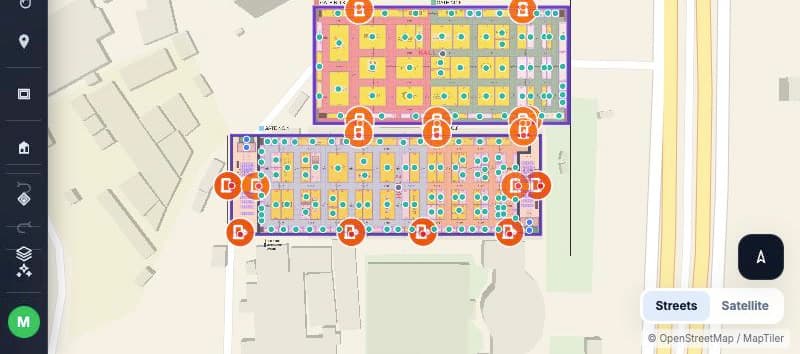
One platform, one source of truth
Live venue data
Booths, sessions, rooms and amenities come from the venue's own records and stay current on every screen at once. A booking changes at 18:00 and every kiosk, phone and embed shows it at 18:01.
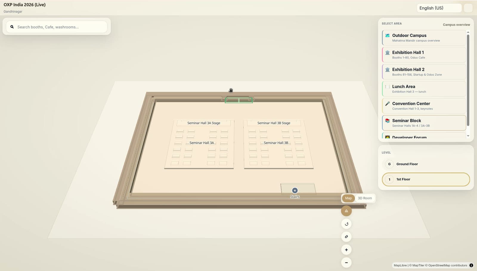
3D mapping
A floor plan, DWG or point cloud becomes a navigable 3D model of your venue — every hall, floor and room.
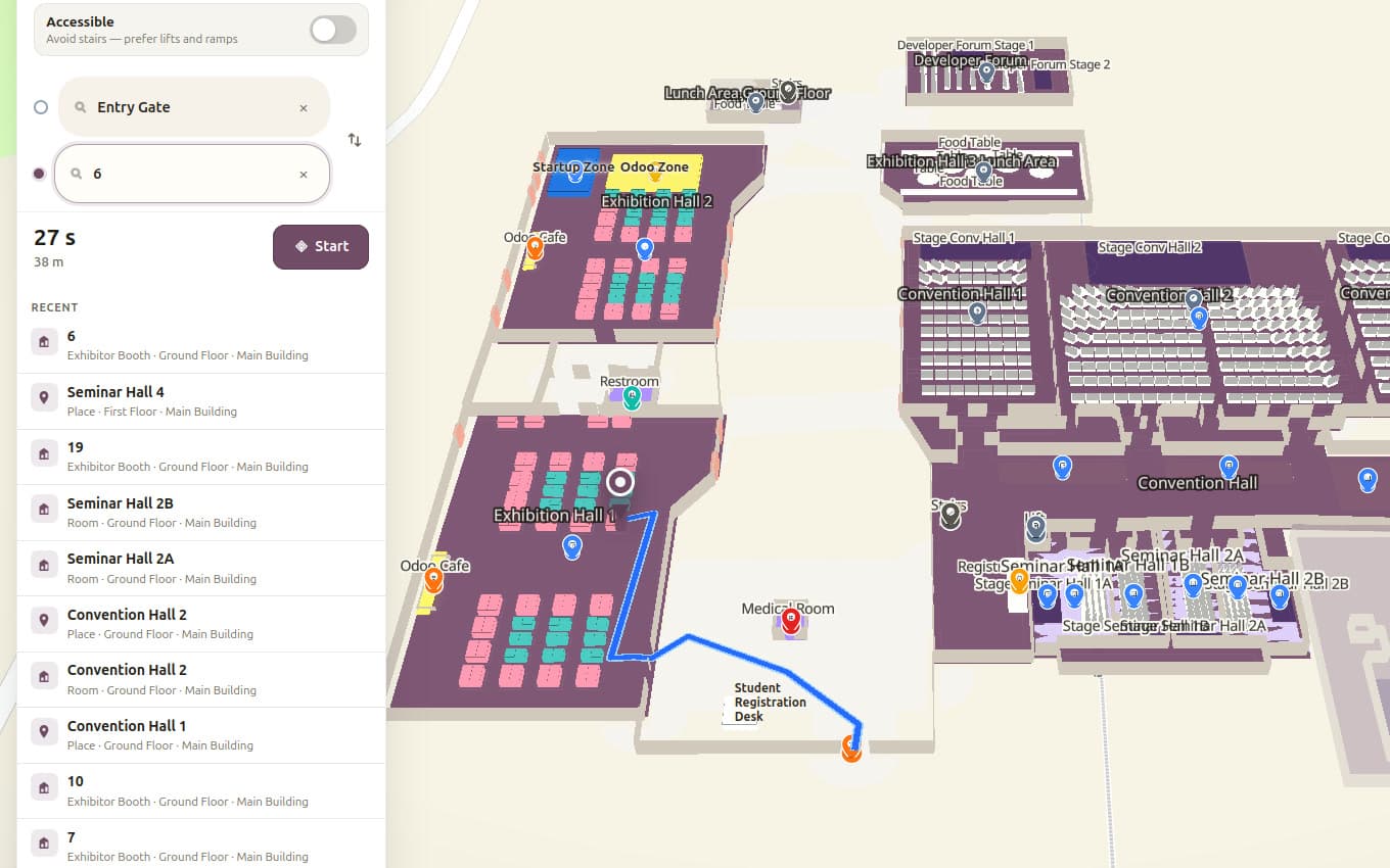
Wayfinding
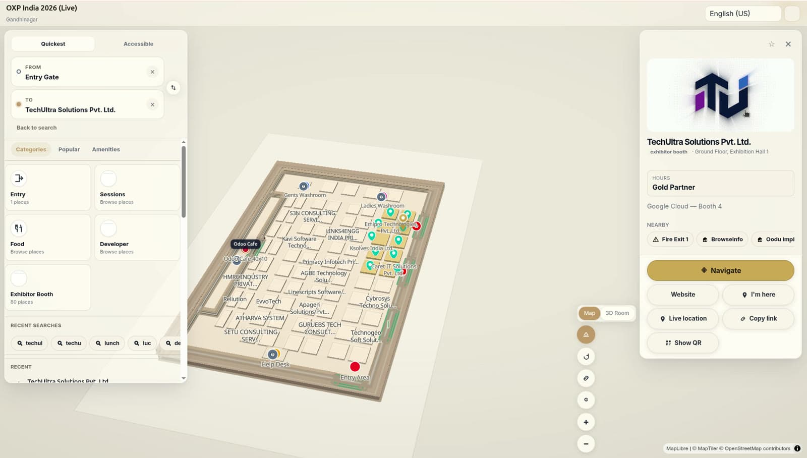
Turn-by-turn routes between any two points, across floors and buildings, with step-free options.
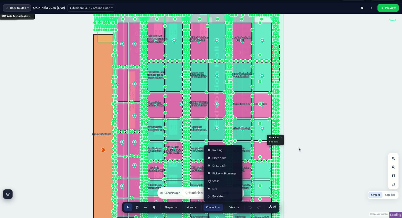
Editor
Draw booths, re-zone a hall, rename a room. Changes publish to every kiosk, app and embed together.
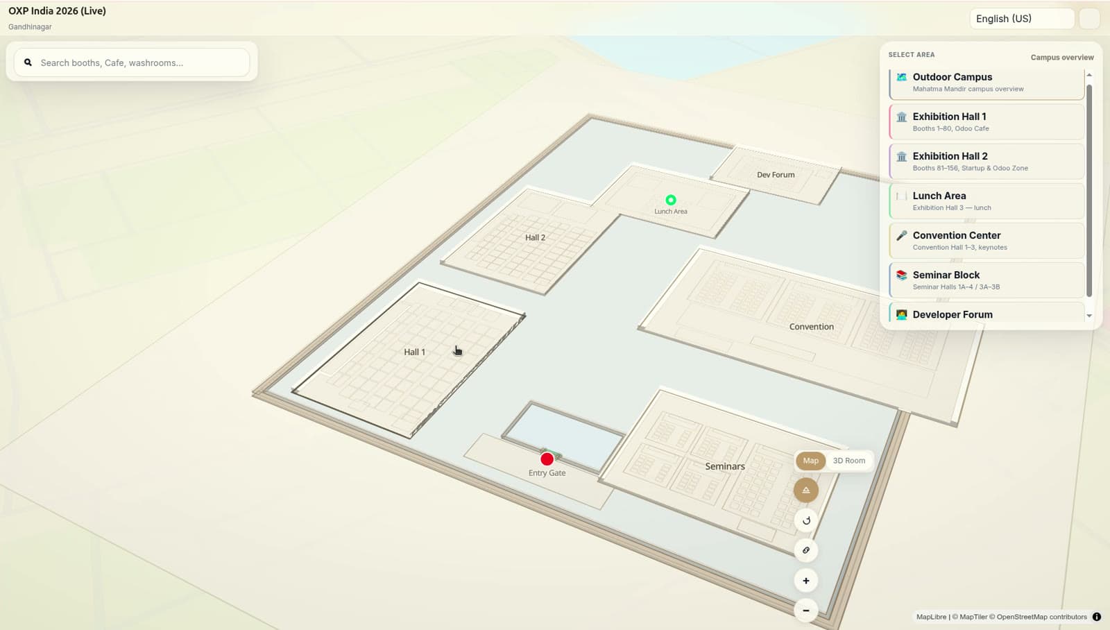
Kiosk & display
The same map on lobby kiosks, info points and wall displays, driven from one source.
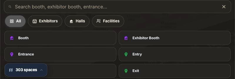
Search & QR hand-off
Search finds any booth, room or amenity; a QR code carries the place and its route to the visitor's own phone. No app install.
+13.50m / ZONE C-02
Built to embed
A map in your app in a few lines. SDKs for web, iOS and Android; REST and webhook APIs for the live data layer.
import { VenueMap } from "@mapnyx/web";

const map = new VenueMap("#map", {
  venue: "expo-2026",
  floor: 0,
});

map.route({
  from: "entry-gate",
  to: "booth-b51",
  accessible: true,
});

map.on("poi:click", (poi) => showPlaceCard(poi));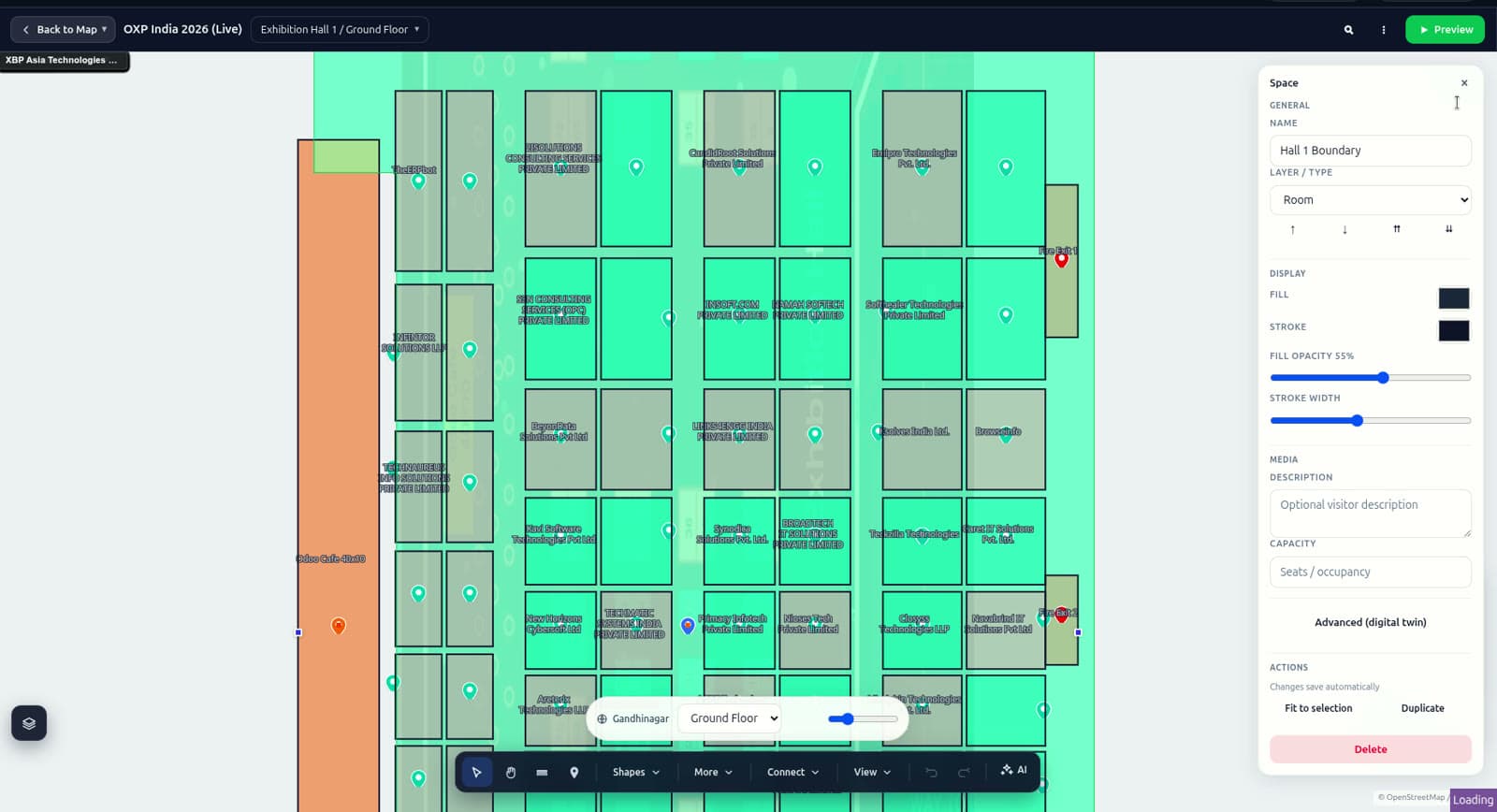
A venue, a route, a place card — the same primitives the Navigator is built from, in your own app or event site. Every place carries a stable ID and an external reference, which is what makes live data bindings hold.
Read the docs →+18.00m / LEVEL 04
Built for venues people need to find their way through
+18.00m / ZONE D-01
Proof, with numbers
The first deployment profile is published — a national exhibition campus of seven buildings and 997 places, with what was mapped, what stayed live from the booking records, and the outcome measurements it still lacks. A named case study follows when the customer grants permission.
Case studies →
+18.00m / ZONE D-02
Not just a map. A digital venue operating system.
Most digital maps answer one question. A venue runs on six.
What is here?
Booths, rooms, clinics, gates and amenities as addressable places — not unlabelled shapes.
Where is it?
Search that finds a place by name, brand or category, across every floor and building.
How do I get there?
Turn-by-turn routing across lifts, stairs and escalators, step-free on request.
What is happening here?
Sessions, bookings and amenity status drawn from the venue's own records.
How are visitors using it?
Sessions, popular places, route requests — and the searches that returned nothing.
Is it ready to publish?
Validation that catches disconnected corridors and routes through walls first.
Mapping · AI digitisation · Navigation · Search · Visitor experience · QR & sharing · Analytics · Venue operations · Offline · Kiosk · Publishing
India DPDP Act applies · GDPR for EU customers · WCAG 2.2 AA target · SOC 2 not yet started
Trust & security →+0.00m / EXIT
See your venue as your visitors will
Book a walkthrough on a live venue map, or start free with your own floor plan.