+0.00m / HALL 1
3D mapping
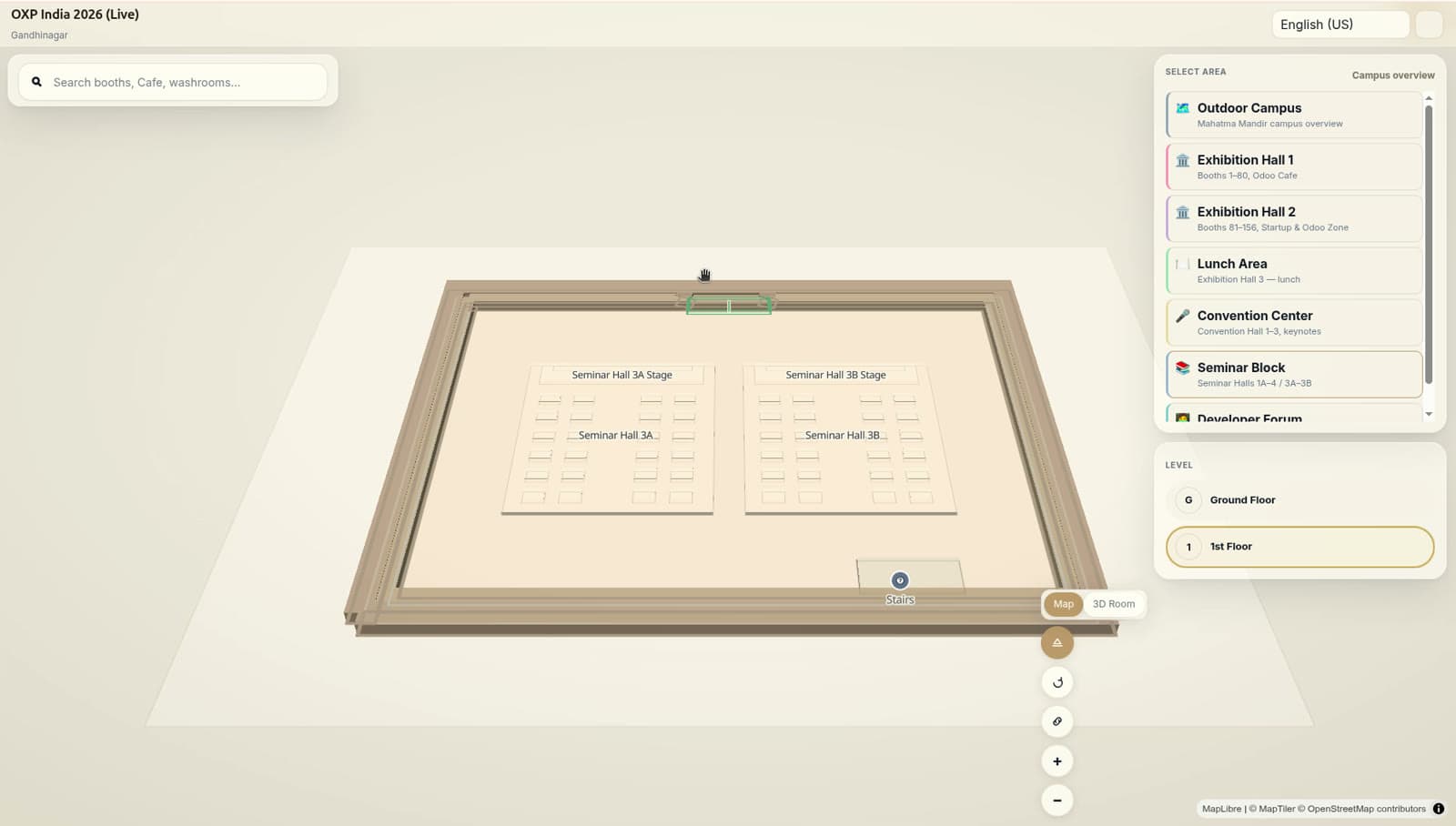
3D indoor mapping turns a floor plan, DWG file or point cloud into a navigable three-dimensional model of a venue. Event organisers, hospitals, airports and malls use it to give visitors, staff and screens one shared, accurate picture of the space — every hall, floor, room and booth.
Send us a floor plan, a DWG or a scan. You get back a model visitors can orbit, search and follow — on the web, with no app install.
+0.00m / HALL 1
What it does
From the drawings you have
PDF floor plans, DWG/DXF, IFC models or point clouds all work as input. You don't need to re-survey the venue to start.
Campus and multi-building
Outdoor grounds and multiple buildings in one continuous map — an expo campus, a hospital estate, an airport with terminals.
Floor-aware
Multi-storey venues are modelled floor by floor with a floor switcher, so seminar hall 3A upstairs is a place, not a footnote.
Places as first-class objects
Booths, rooms, gates and amenities are addressable objects with stable IDs — which is what makes live data binding possible.
Web-native output
Models publish compressed for the browser, sized to load fast on a kiosk, a phone on venue Wi-Fi, or an embed in your event site.
Change without re-mapping
When a hall re-plans or a ward moves, edit the model in the studio and republish. No new survey, no new project.
LIVE LAYER
Every mapped place carries an external reference. Point it at the venue's own record — a booth booking, a room, a gate — and the model stays current from the data the venue already maintains.
+0.00m / EXIT
See your venue as your visitors will
Book a walkthrough on a live venue map, or start free with your own floor plan.